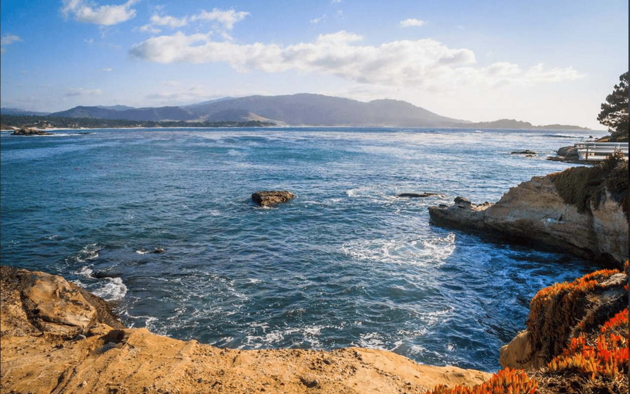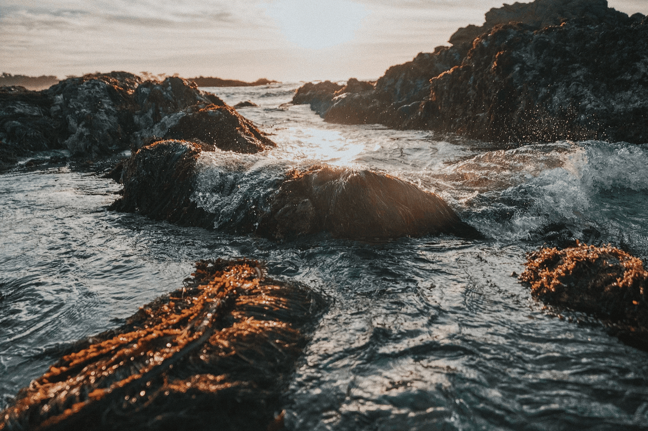
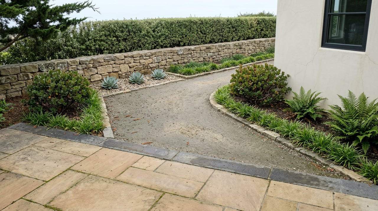
Ask anyone who lives on Carmel Point about their morning walk and they'll describe one continuous loop: down to the water, along the bluff, maybe a stop by the old stone house with the tower, back through the trees. It feels like a single, uninterrupted stretch of coastline and forest that happens to sit right outside the door.
It isn't. The loop that defines daily life here is stitched together from four separate pieces of land, each with its own owner, its own rules, and its own crew keeping it in shape. Most people who walk it every week have never noticed where one piece ends and the next begins. That's the interesting part.
The Lagoon Side Runs on State Rules
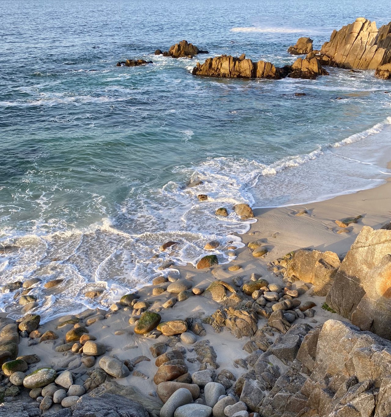
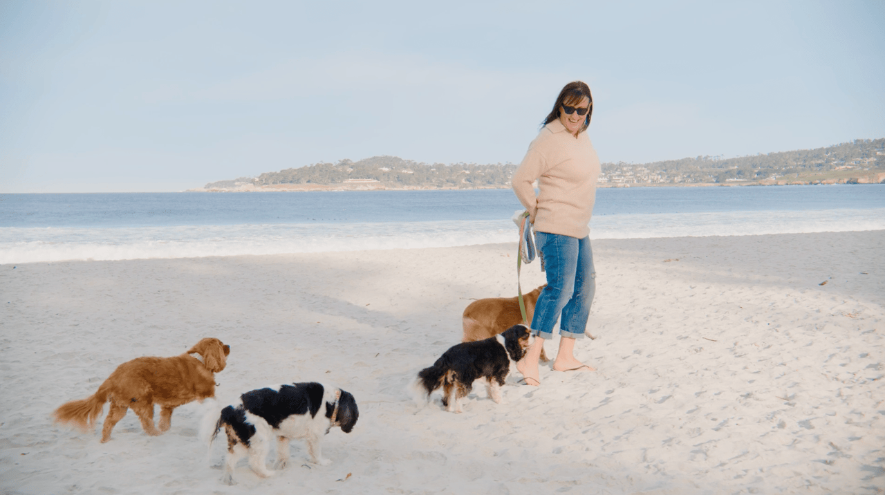
Head south from Carmel Point and you land on Carmel River State Beach, a mile of sand managed by California State Parks rather than the city. Dogs are welcome here, but only on leash, no exceptions, and that rule holds every day of the year. The beach's own posted guidance flags a narrower seasonal concern than most people assume: rangers ask visitors to watch for roped-off western snowy plover resting areas in late winter and early spring, not a blanket summer closure. That distinction matters, because the state's broader press releases about snowy plover nesting season, which runs March 1 through September 30 across Monterey Bay, apply to beaches like Zmudowski, Moss Landing, and Andrew Molera, where dogs are banned outright during that stretch. Carmel River State Beach isn't on that no-dog list. It stays leash-friendly year-round, which is a detail worth knowing if you've ever hesitated at the trailhead because you half-remembered a beach closure that doesn't actually apply here.
Walk the trail along the lagoon and you'll pass a low stone marker most people never stop to read. It's the Portola-Crespi Cross, left in 1769 by an expedition that had run out of supplies and was turning back toward San Diego, believing its resupply ship had been lost at sea. The lagoon itself still functions as a working bird sanctuary, home to nesting and migrating species that use the estuary as a break between ocean and freshwater habitat.
Between the River and the Path, You're Just on the Road
Heading back north from the state beach, there's a stretch where the walk quietly stops being a walk and becomes a road shoulder. Scenic Road doesn't get a separated pedestrian path until you reach Martin Way, a few blocks north of the Point. Until then, you're sharing pavement with one-way traffic.
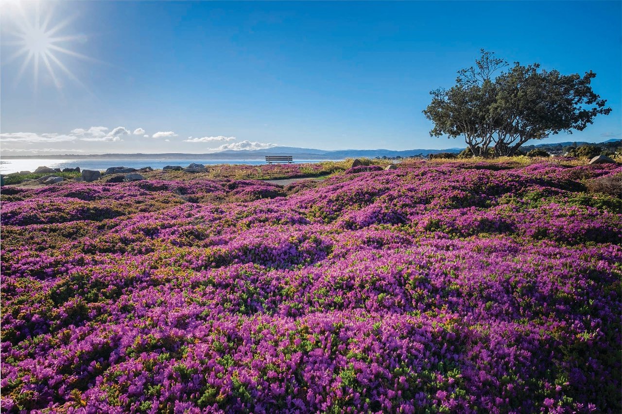
At Martin Way, the ground changes again. This is where Carmel Cares, a local volunteer group, maintains a bluff-top walkway that runs roughly 3,250 feet north to 8th Avenue. It was built in 1988 across two construction phases that cost about $800,000 each, and it's still cared for by hand. Every Wednesday, a small crew of volunteers works the length of it, clearing overgrowth and pulling invasive plants at the root. The group's founder started that effort after her own small dog made two trips to the vet with foxtails embedded in its feet, and a separate longtime resident was independently doing the same weeding from the opposite direction before the two ever compared notes. That's not a detail you'll find in a visitor guide, but it's the reason the path looks the way it does when you walk it.
The Sand Where the Leash Comes Off
By the time the pathway reaches its northern end near 8th Avenue, the rules have flipped again. Carmel Beach itself allows dogs off leash, as long as they stay under reliable voice control. So in the space of a mile and a half, a dog on this walk goes from leash-required at the state beach, to leash-required on the volunteer path, to free to run on the sand, and the average walker crosses all three zones without giving it a second thought.
One Day a Week, the Poet's Tower Opens
Cut inland from the beach toward Ocean View Avenue and you'll pass Tor House, the stone home and tower that poet Robinson Jeffers built by hand starting in the early 1900s. It's a National Historic Landmark now, maintained by the nonprofit Robinson Jeffers Tor House Foundation, and it sits close enough to the daily walking route that most Carmel Point residents pass it constantly without ever going inside.
That's partly because the property only opens to visitors one day a week. Tours run on Saturdays, capped at six people at a time, led by volunteer docents who take guests through the house and up into Hawk Tower, which Jeffers built as a retreat for his twin sons after seeing similar stone towers in Ireland. Some of the stone came from Carmel Beach itself, gathered a short walk from where it now stands. Other stone reportedly came from as far away as Hawaii and the Great Wall of China. Guests over the years included Charles Lindbergh, George Gershwin, and Charlie Chaplin. The rest of the week, the gates stay closed and the only view is from the street.
If you've been meaning to finally go inside, the foundation's Fall Festival is set for October 16 through 18 this year, just under eight weeks from now.
From Mission Ranch Into a Different Forest Entirely
Keep walking east and the route passes Mission Ranch, the restaurant and hotel property whose land supported the original Spanish mission dating back to the 1790s, before reaching Carmel Mission Basilica itself. The mission was built in 1771 and served as Father Junípero Serra's headquarters, making it the second of the 21 California missions.
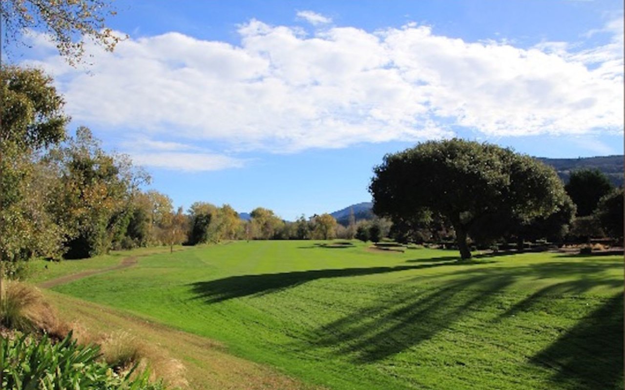
Across the street, the walk changes character one more time, entering Mission Trail Nature Preserve, 34 acres of city-managed land with three miles of trails running through Monterey pine forest, coast live oak woodland, wetland, and a willow riparian corridor. It's a genuinely different biome from the exposed, wind-scoured bluff you started on less than an hour earlier. Locals who use the preserve regularly tend to stick to the main graded path rather than the narrower spurs, which are known for poison oak along the edges.
Why the Seams Are the Point
None of this is planned as one system. A state beach, a public road, a volunteer-run art path, a privately preserved historic home open one day a week, and a city nature preserve happen to sit end to end, each maintained by a different group with a different mandate. The leash rules change three times. The terrain changes from open sand to bluff to forest floor to wetland. The one landmark most people want to see from the inside is only available a few hours a week.
That patchwork is what makes the walk hold up over years of daily repetition instead of going stale after the first few months. A single continuous trail with one owner and one rulebook would be easier to describe, but it wouldn't give you a lagoon, a poet's tower, and a redwood-adjacent forest inside one loop from your own front door.
Right now, in late August, the snowy plover nesting season that gets so much attention elsewhere on Monterey Bay is winding down and closes entirely at the end of September, though it was never the reason for caution at Carmel River State Beach in the first place. The bigger date on the calendar is October, when Tor House opens its doors for the Fall Festival and the walk you already know by heart gets one more reason to stop halfway through.
If you're weighing what it actually means to live inside a loop like this, or you're curious how a specific stretch of Carmel Point factors into current market conditions, the team at Canning Properties Group has spent decades walking these same streets. Book an appointment when you're ready to talk specifics.